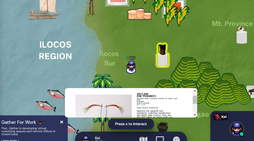
Ayala Museum’s “Where is the Filipino?” allows visitors to explore more than a hundred objects over a 2D map.
The rise of virtual shows in the past year gave us creative presentations. From the fashion industry’s haute couture videos to exhibits of Princess Diana’s wedding dress and the costumes in The Queen’s Gambit, online tours have been exhausted by brands and institutions.
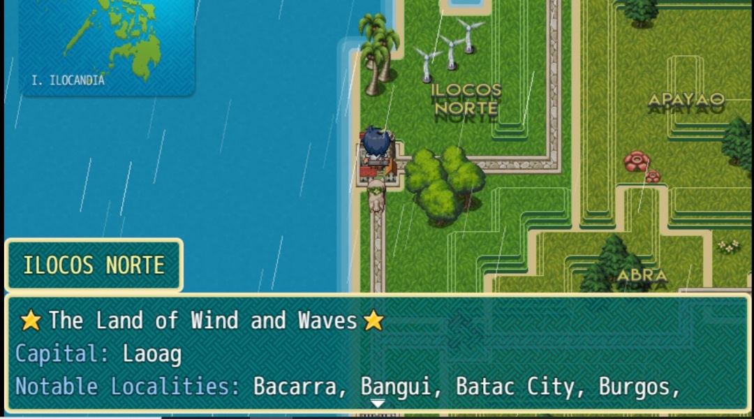
Ayala Museum, for their part, launched an 8-bit tour called “Where is the Filipino?” It allows guests to explore over 100+ museum objects on a two-dimensional (2D) map. Similarly, “Martholemy’s Filipinas: Islands Abridged” provides an adventure game-like tour of the Philippine territory.
These two tours may differ in certain features but they are committed to exhibiting the rich history and culture of the country in an entertaining approach.
ALSO READ: Moon Museum: The Works Of Filipino Artists And Writers Will Be On NASA’s Next Lunar Landing
On Philippine history and culture
Ayala Museum partnered with Globe in the conceptualization of the game as a means to exhibit the diversity of our ethnolinguistic groups and culture. The tour traces the history of migration and colonization across the country while featuring artifacts from the museum’s collection.
Online social platform Gather.Town is where guests can customize and control their avatar and engage with other attendees. Here, users move around the map and interact with the different indigenous and ethnographic artifacts. Click on an object to take a closer look and learn interesting information about them.

Apart from having the avatar walk, it can also “travel” long distances by “riding a boat.” The respective regions are labeled and so you can track and target your destination.
Self-guided tours are available until May 30, 2021. Click here to play the game.
ALSO READ: Arts Hub: Hong Kong’s M+ Museum Wants To Be The Artistic Super Space In The Region
On Philippine geography
Writer, designer, and diplomat Marthy Angue’s claims it is a Proof-of-Concept that updates and evolves together with community support.
Martholemy’s Filipinas: Islands Abridged allows users to explore the regions in the Philippines. The 2D map covers 300,000 km2 of the country’s territory and features markers for capitals, provinces, natural wonders, well-known resorts, and tourist destinations.

Users can also explore Provincial Pavilions that provide important details on the province’s people, culture, and history.
Click here to play the game.


